
GIS and Geospatial Technology
GIS and Geospatial Technology
Learn how to use location-based data to better understand the world. Offered in partnership with the UCLA Department of Geography, this certificate provides an introduction to the methods and techniques used within the field of GIS and geospatial technology. Available Format: Online
Get More Info
This program is perfect for...
What you can learn.
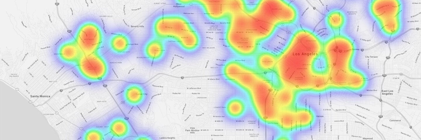
Map out a better future.
UCLA Extension's GIS and Geospatial Technology Certificate, created in partnership with the UCLA Department of Geography, provides a comprehensive introduction to the state-of-the-art methods and techniques used in the field of geographic information systems (GIS) and geospatial technology.
The program teaches computer-based mapping and spatial analysis techniques with hands-on, project-based instruction using industry-standard GIS software platforms.
All courses are designed to accommodate the schedules of working professionals, and no prior GIS experience is required or assumed. Participants who complete the program can expect to be sufficiently prepared for an entry-level job in GIS and/or related geospatial industries.
The certificate program is offered 100% online and may be completed in as little as one year.
Cost and Fees
What are the admissions criteria for the certificate program?
The certificate program is an open enrollment program, meaning that any interested prospective students can enroll in the program regardless of previous educational experience.
Students enrolling from outside of English-speaking countries must meet a language proficiency requirement, which can be demonstrated by submitting a copy of one of the following English proficiency tests above the listed minimum scores:
- TOEFL: 550 (paper), 213 (computer), 79 (Internet)
- IELTS: 6.5
- ITEP: 5
- CAE I CPE: Level CI Grades A, B, C
How do I enroll in the certificate program?
1. Enroll in GEOG XL 7: Introduction to Geographic Information Systems (GIS)
2. Establish certificate candidacy by clicking "Apply Now" below, following the prompts, and paying the candidacy fee.
You may declare yourself as a certificate candidate at any time after enrolling in the Introduction to GIS course. This entitles you to certain benefits and establishes you as a student formally seeking the certificate. No formal application process is required given that this program is structured as an open enrollment program.
Learn more about certificate candidacy
Will I be earning transferable UCLA course credit?
Yes. All of the courses in the certificate program are accredited and approved by the UCLA Academic Senate as credit-bearing courses. Courses carry both lower-division (Intro) and upper-division (all other courses) undergraduate credit.
Do I need to pay for the entire certificate amount upfront?
No. You’ll enroll in and pay for each course individually each quarter.
What are the courses like?
All courses are online and flexibly scheduled, with weekly deadlines providing structure. We strike the right balance between flexibility and structure: we move through course content together as a cohort, but when you review the content and complete the required activities each week is up to you. No synchronous online or in-person meetings are required.
Weekly activities include:
- Reviewing video lectures, technical screencasts, and readings
- Completing practical assignments involving the use of GIS methods to address real-world scenarios
- Self-assessment using automated non-graded quizzes
No high-stakes exams are required; all activities are project-based and centered around practical applications of GIS techniques. Weekly practical assignments are the cornerstone of the program's structure. Assignments encourage critical thinking and problem solving, and completing the projects helps in the development of intuitive mastery of GIS tools and methods.
How much time do I need to set aside for coursework?
On average, students report spending approximately 10 hours per week, per course on completing coursework for this program. Student workloads tend to be highest in the Intro course, as well as when students choose to take multiple courses concurrently.
Since the courses are fully online, how are students supported?
We make every effort to ensure that students in the certificate program feel supported. On-demand course content provides everything you need to successfully complete all course activities, but your instructors and the program's administration regularly hold office hours. Office hours are provided at the UCLA campus, online, and by phone. Students and instructors also frequently engage in stimulating conversation in discussion forums integrated within each course module.
What about GISP® certification criteria?
Students planning to pursue GISP® certification can apply our courses toward satisfying the GISP's Educational Achievement Component. Students will earn Student Activity Hours (SAH) at a rate of 150 for the Introduction to Geographic Information Systems (GIS) course and 120 for each of the other courses. All courses are transferable and accredited, approved by the UCLA Academic Senate as credit-bearing courses.
Required Courses
Required Introductory Course
Introduction to Geographic Information Systems (GIS)
Required Courses
Cartography
This course introduces the methods, techniques and considerations behind geographic data visualization and Web based mapping. We will explore constructing narratives using maps with Esri's ArcGIS Story Map platform. It focuses upon data science, scientific communication, and the cartographic process, and in particular, considerations surrounding cartographic data visualization strategies.
Intermediate Geographic Information Systems (GIS)
Advanced Geographic Information Systems (GIS)
This course is a project-based exploration of advanced topics in GIS and geospatial technology, with a focus upon spatial modeling, advanced spatial analysis and geoprocessing, spatial data manipulation, and geocomputation.
GIS Databases and Enterprise GIS
This course introduces the design, development, and management of geospatial databases, including multi-user enterprise geodatabases. In addition to learning about relational database design, students will construct and maintain spatial databases.
Related Programs

Data Science
Learn to leverage the power of big data to extract insights and improve decision making for real-world problems. Gain hands-on experience in data management and visualization, machine learning, statistical models, and more for a career in data science.

Blockchain Technology Management
Stay ahead in this evolving ecosystem and deepen your understanding of blockchain and distributed ledger technology (DLT). Explore practical applications such as enterprise blockchain, decentralized finance (DeFi), and decentralized autonomous organizations (DAOs) to address contemporary business challenges.

Cybersecurity
Learn essential cybersecurity skills in our 4-course Cybersecurity Certificate. Quickly gain the knowledge you need to protect your technology infrastructure from physical and virtual threats.

Data Science with Concentration in Cybersecurity
Learn how to harness the power of big data and protect technological infrastructures in this nine-course certificate program.

Software Development
Develop software applications in Java and Python and enhance your web development skills. Gain the practical knowledge necessary to compete in an evolving technology ecosystem.

Systems Analysis
This certificate provides training in analysis and design of information systems. The program prepares students to perform information systems requirements analysis, design, development, installation, and operation, as well as testing and documentation.