
Intermediate Geographic Information Systems (GIS)
Intermediate Geographic Information Systems (GIS)
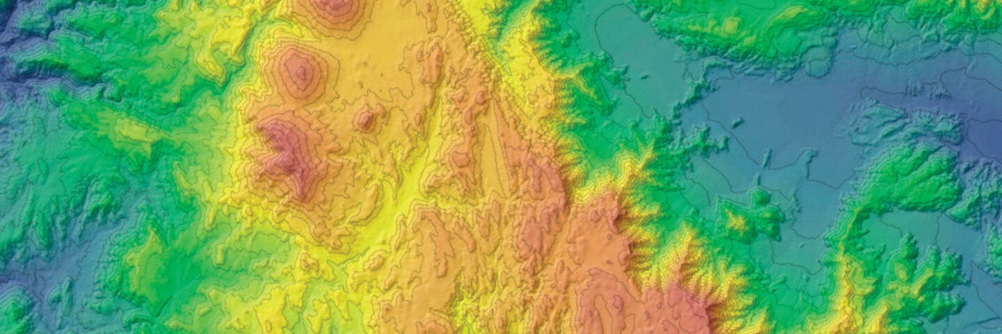
This intermediate course reinforces additional key geographic concepts and techniques related to GIS, including coordinate systems, data management, spatial databases, geoprocessing, raster processing and analysis, digitizing and various types of spatial analysis.
Get More Info
What you can learn.
About This Course
This course reinforces and introduces additional key geographic concepts and techniques related to the theory and application of geographic information systems (GIS). Topics such as geographic coordinate systems, automation, geoprocessing, raster data processing and management, vector digitizing, and various forms of spatial data management are given in-depth treatment during this intensive seminar. Spatial data literacy, data formats, and data manipulation practices are also emphasized. Students are trained in the use of both open-source (QGIS) and commercial (Esri's ArcGIS for Desktop) GIS software platforms. In addition to exposing students to the variety of settings and situations in which GIS data management techniques are used, students also learn how to implement such techniques through completion of practical exercises.
Students will be earning transferable UCLA course credit for all courses in the certificate program. This course is accredited and approved by the UCLA Academic Senate as a credit-bearing course. It carries upper-division undergraduate credit. Weekly activities include reviewing video lectures, technical screencasts, and readings. Completing practical assignments involve the use of GIS methods to address real-world scenarios; Self-assessment using automated non-graded quizzes; and more.
Fall 2026 Schedule
Required course in the GIS & Geospatial Technology certificate program.
This is an online course, wherein all course content is delivered online and all interaction among the instructor and the participants will take place online; additional requirements include microphone, headphones/speakers, and webcam.
Technical requirements: Students are responsible for providing a personal computer with a minimum of 4GB of RAM that is capable of running Windows 10. Apple hardware running macOS can be used provided that Windows 10 is installed either using Boot Camp or virtualization (VirtualBox, Parallels, etc.) with at least 4GB of RAM allocated to Windows. Hardware specifications in excess of these minimum requirements will offer better performance and a better student experience. Students will be provided with a student license for ArcGIS as long as they are enrolled in program courses for which ArcGIS is required.
Enrollment limited to 50 students; early enrollment recommended. Visitors not permitted. Internet access required. Materials required.
UCLA Students: Please be advised that UCLA's Concurrent Enrollment policy prohibits taking courses for credit at UCLA Extension during UCLA's regular session (fall, winter and spring quarters).
This course applies toward the following programs

GIS and Geospatial Technology
Learn how to use location-based data to better understand the world. Offered in partnership with the UCLA Department of Geography, this certificate provides an introduction to the methods and techniques used within the field of GIS and geospatial technology. Available Format: Online