
Advanced Remote Sensing
Advanced Remote Sensing
Develop an aptitude for integrating various remote sensing and geospatial analysis workflows/datasets into one unified cloud-based coding environment.
Get More Info
What you can learn.
About This Course
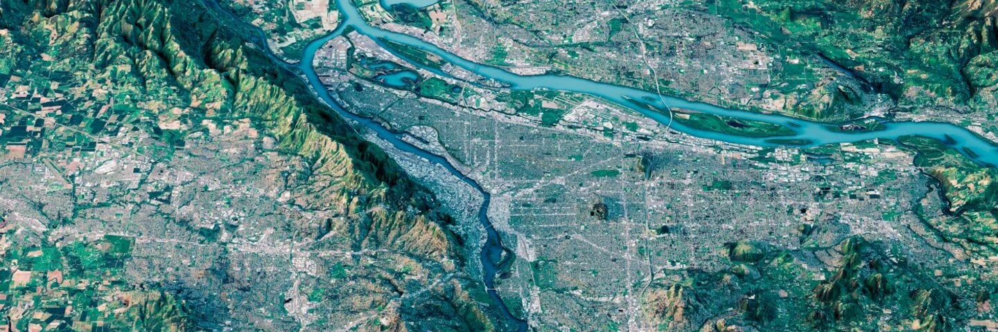
The main objective of this course is to introduce advanced remote sensing topics in the realm of cloud computing. To promote collaboration in research and interoperability of different programming languages and data sources, we will be using the Google Earth Engine Python API running on Google Colab (GEE JavaScript API will only be used for reference purposes). This advanced course in remote sensing has six units: 0) Introduction; 1) Advanced GEE operations; 2) Modeling in GEE; 3) Machine learning in GEE (raster); 4) Machine learning in KERAS (point clouds); and 5) Open topics. All units will also include lab sessions with code examples to facilitate the transition from working in various platforms using different programming languages to working in one unified cloud-based coding environment. The ultimate goal is for you to be comfortable integrating different remote sensing and geospatial analysis workflows and datasets from different sources into one unified cloud-based coding environment to enhance efficiency and to promote collaboration.
Recommended prerequisite: GEOG XL 182A: Introduction to Remote Sensing (or equivalent)